Remote Sensing and Geospatial Information Technology

The everlasting charm of photographs

Mobirise Website Builder

Track 7: Remote Sensing and Geospatial Information Technology

Track Co-chair(s):

1. Jun Wang, The University of Iowa, USA
2. Man Sing Wong, The Hong Kong Polytechnic University, Hong Kong
3. Majid Nazeer, The Hong Kong Polytechnic University, Hong Kong
4. M. Farooq Iqbal Buzdar, COMSATS University Islamabad (CUI), Pakistan

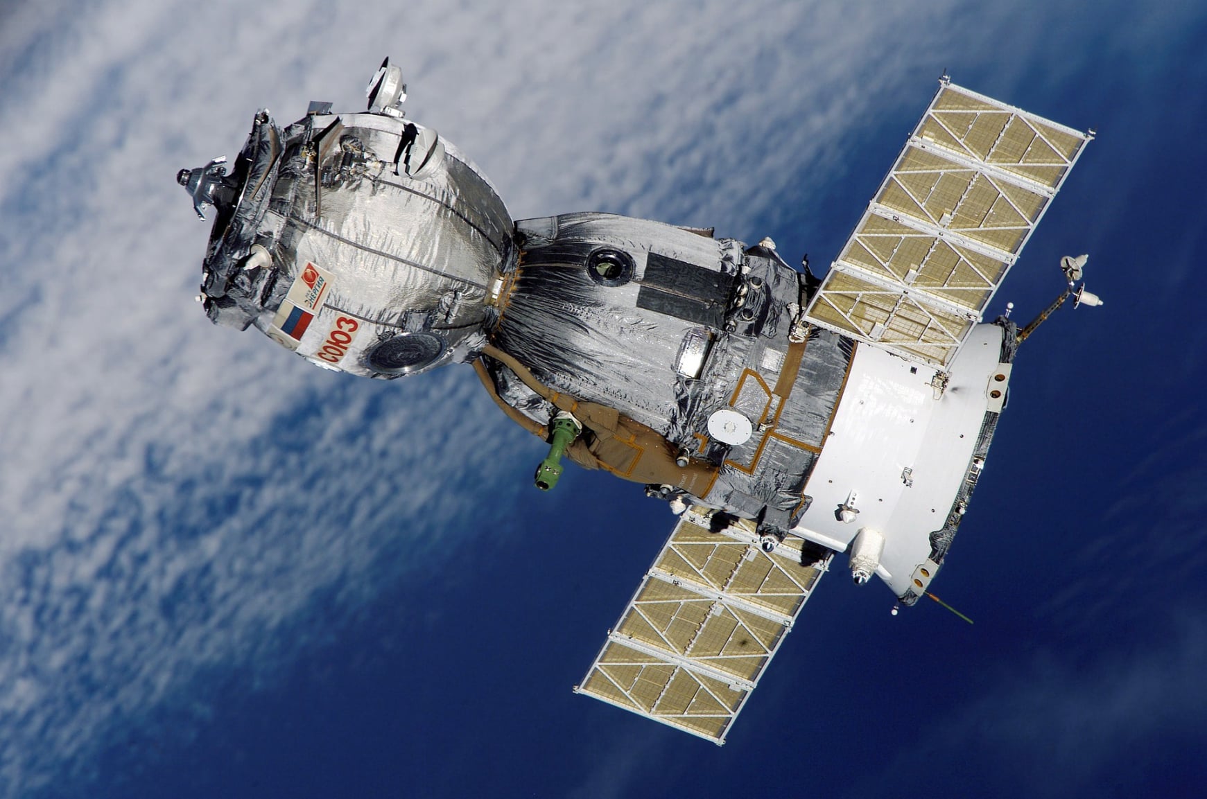
Remote sensing involves the acquisition of data about an object or phenomenon without physical contact. It uses devices such as satellites or aircraft to capture information about Earth's surface. Geographic Information Science (GIS) focuses on analyzing, interpreting, and visualizing spatial data to understand patterns and relationships. It involves the use of computer software to manage and analyze geographic data. Together, remote sensing and GIS play crucial roles in various fields including environmental monitoring, urban planning, and natural resource management.

Mobirise Website Builder

General areas of interest to this track include but are not limited to:

• Google Earth Engine Cloud Computing Platform for Remote Sensing Big Data Applications
• Advances applications of Web GIS
• Utilization and applications of GPS
• Integrated Machine Learning and Remote Sensing approaches
• Advancements in Python for application in Remote Sensing and GIS
• Applications of Synthetic Aperture Radar (SAR)
• Neural Networks based Crop disease detection
• Advanced Deep Learning Approaches for Disaster management
• Utilizing Machine Learning algorithms and Remote Sensing data for Sea Surface Temperature (SST)
• Geospatial analysis for Land Use Land Cover (LULC) changes and future prediction utilizing Artificial Neural Network
• Mapping and modeling of urban floods and urban town planning
• Dynamics of urban growth using GIS
• Remote sensing and GIS applications for municipal waste management
• Coastal development monitoring using Geospatial Data
• Public health and disease mapping
• Natural resource mapping and conservation
• Snow and Glaciers Mapping
• Remote sensing and GIS-based Landslide susceptibility mapping
• Detection and monitoring of oil spill events
• An integrated approach using water quality index, multivariate statistics, and GIS for ground water monitoring
• Hydrology and water resources applications
• Geospatial investigation of site suitability for ecotourism development
• Spatial Data Infrastructure

Drag and Drop Website Builder